
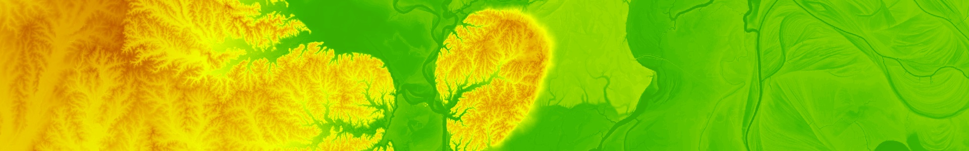
Louisiana Statewide Lidar
The Louisiana Statewide Lidar Project provided high-resolution elevation data for the entire state—the first to do so with lidar. The dataset is available online through Atlas for public access.
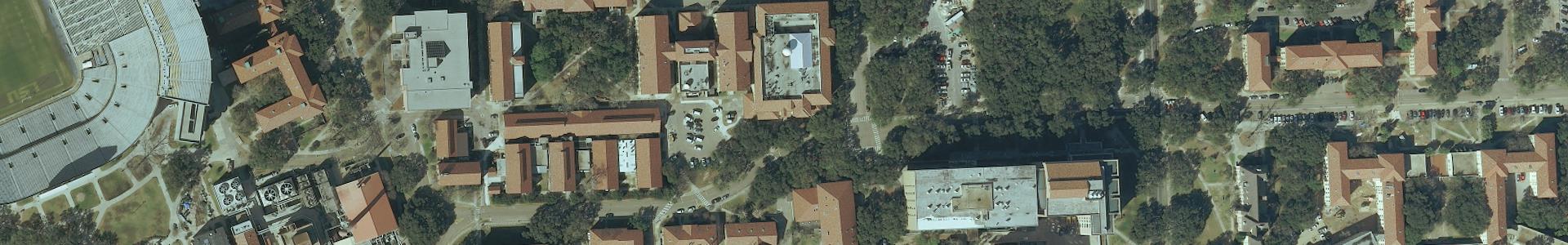
GOHSEP 2010 Aerial Imagery
This dataset contains 6-inch statewide Digital Orthophoto Quarter-Quarter Quadrangle (DOQQQ) imagery provided by the Louisiana Governor’s Office of Homeland Security and Emergency Preparedness (GOHSEP).
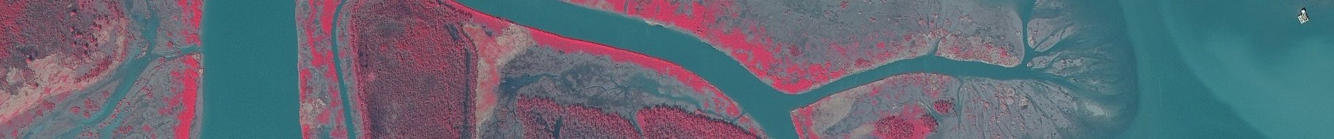
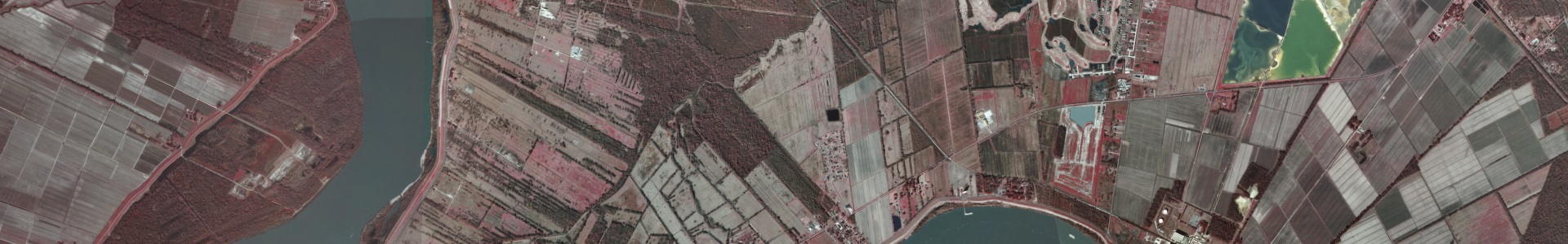
DOQQ 2008 Coastal Imagery
Digital orthophoto quarter quadrangle (DOQQ) imagery of coastal areas of Louisiana, Mississippi, and Alabama, created in 2008. The dataset includes true color and color infrared layers.
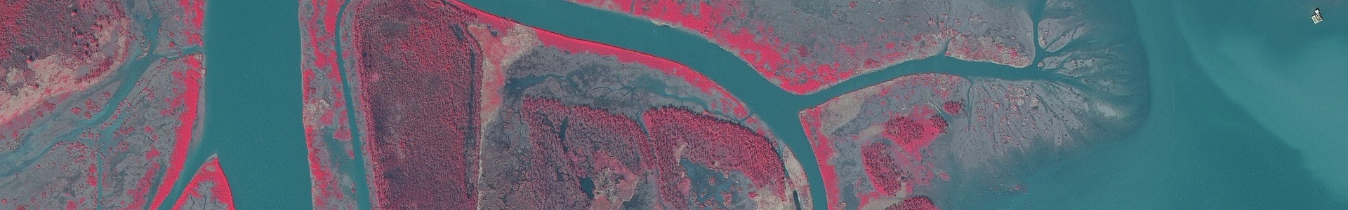
DOQQ 2004 Imagery
Color-infrared DOQQ imagery of Louisiana at 1-meter resolution.